This was last chance saloon for a while. The forecast for the rest of the week was dire, and then I was meant to be away for a few days. I woke to rain but the forecast said the cloud would break. I left the flat under heavy skies and tried to find value in the walk itself.
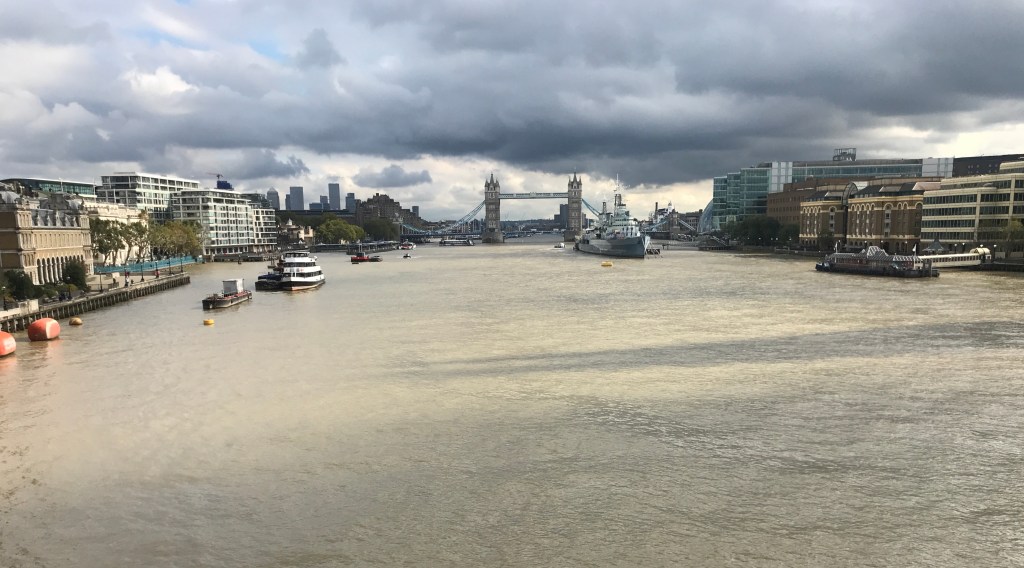
It was cloudy all the way. When I got to the river at the Tower I saw a wide patch of blue and hoped it wouldn’t repeat the tease of four days’ earlier. It didn’t. A small window of cloudlessness blew fast and clear straight over the Shard at one on the nose, stayed just long enough for me to try out newly-enabled GPS things and as much triangulation as I could muster, and was replaced a few minutes later by a low-lying slab of dark grey. You can see how close it was by the eastward-moving shadow below the Shard shadow here. This more than made up for 25th.
The shadow wasn’t yet on the north bank, although the rate it’s moving it won’t be long. It’ll be good to not have to attempt to triangulate positions from the Bridge for a bit.
London Bridge is an unlovely bridge, a slab of concrete on basic arches shown up entirely by the Victorian fantasy of Tower Bridge to the east. It’s part of London folklore that the old London Bridge was sold to an American businessman, Robert P McCulloch, after it was deemed no longer safe in the 1960s. He bought it for £1.7m and re-erected it in his new development at Lake Havasu City, Arizona. It was opened there in 1971 and had the desired effect of attracting tourists and house-buyers. Rumours that he thought he was buying Tower Bridge are entirely unfounded, by all accounts. Either way, the City of London rid themselves of a pretty dull bridge and replaced it with something just as dull. Unlike the old one, and recently Hammersmith Bridge, it does at least do the job of letting people and traffic cross the river safely.
This spot merits the first orange autumn tag on the map. There’s a long way to go from here before we start heading south again.
This shot is also the first one for which I’d turned on the photo location data. I downloaded an app called Exif which shows everything you could think of, including latitude and longitude. So this shot was taken from 51o 30’ 30.168” North and 0o 5’ 13.610” West. On the face of it that’s mighty specific and I had high hopes of it being spot on. As it turns out, however, Google Maps has this location firmly in the Thames. A quick test on a photo taken in my flat has the GPS location in a wholesale clothing shop on the main road nearby.
Bugger.
Looking at other photos from the same location, it seems there’s a bit of a spread on the GPS co-ordinates. Maybe looking at five or six and averaging them would get a bit more accuracy, but I’m not here to average GPS co-ordinates.
More useful, maybe, would be to count the lampposts on London Bridge, just faintly visible on the satellite/aerial imagery (which is quite something when you think about it). Looking at the supporting photos, the shot 22nd was from roughly level with the 6th, and this was from around the 4th.
From the north bank, the shadow looks like it’s coming out of the fetching Hays Wharf building, and Streetview does go down the esplanade facing it, so it should be possible to put three marks on the river from that, and GPS be damned. So the three marks in September are done like that, and if they look a bit off when and if the final figure 8 is done, you’ll know why. I’m going to have the same problem in six months’ time, of course. Maybe I’ll have a solution by then, or maybe I’ll be out there in a kayak dodging river buses and trying to line up a sunshot in the tides.
