14th June 2021 13:00

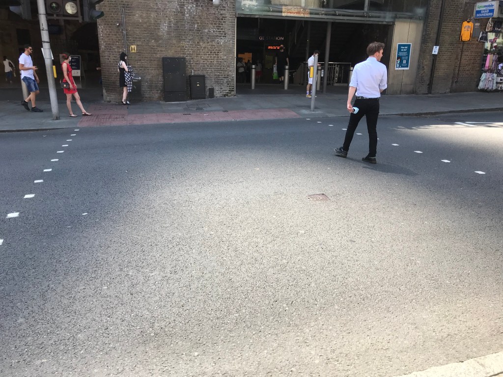
I don’t know what this guy was looking at, but it wasn’t the shadow of the tip of the Shard. In the five days since the last similar shot, the gap had moved slightly south and west, according to the conveniently-placed rows of dots on the road.

This was the photo that closed the loop, the last shot taken before the Sun got back to where it was in the sky when I started.

I knew roughly where these shadows would fall, but it still amused me actually going to find them. To slot this final one into place, with the map revealing both the inevitability of the analemma and the shonkiness of my cartography, gave me a rare feeling of joy at a project seen through. A feeling that was clearly premature, as I let the blog sit idle once the city and the world reopened, and didn’t finish the photo blog, the map or the description.

The upcoming eclipse has got everyone here thinking about celestial mechanics, and you can’t say that about many things. It got me thinking about this again, and it’s a good time to close the loop.

In the months after taking this photo, I continued to head down to the shadow to fill in some of the yawning gaps in my analemma, closing it despite its inevitability. These photos remain to be added to the map and the blog. There’s another eclipse in Europe in August next year. Maybe that will motivate me.
9th June 2021 13:00

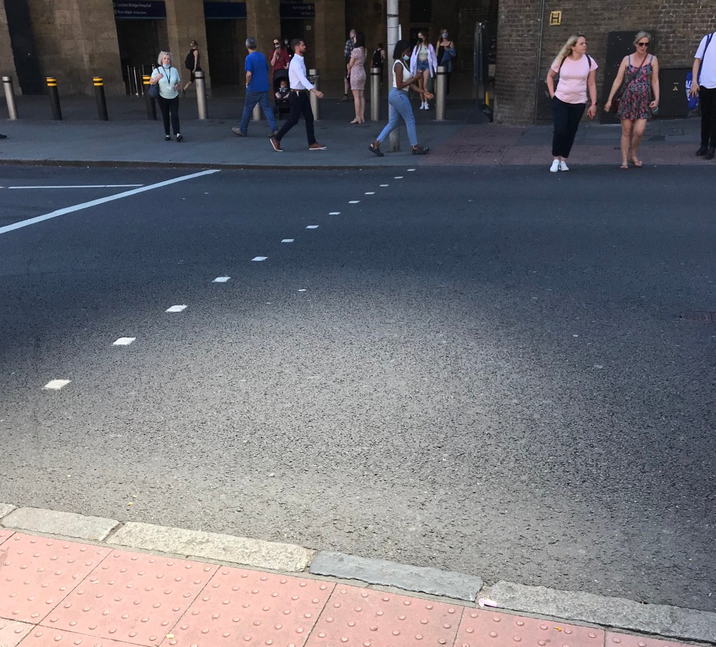
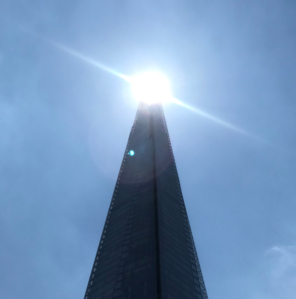
All those shots of the Sun through the tip can get a bit samey, and it’s good to have road markings rather than river to anchor the shadow’s gap to the map.

By this time, nearly a year after starting this, the shadow was back on the same busy stretch of road where it started, with thousands of journeys detangling through the exit onto the street and the fast-passing shadow cast on it.

24th May 2021 13:00

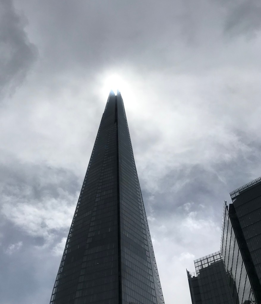
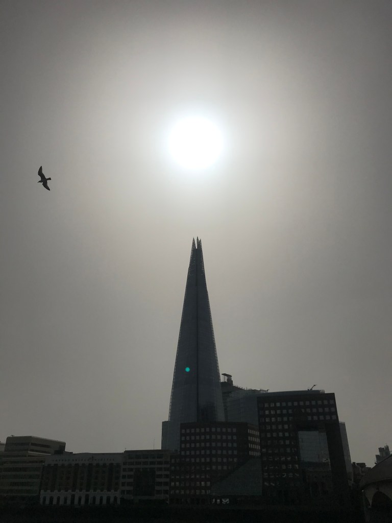
Nearly a month later.. Despite an unpromising layer of grey, the cloud was thin enough that the Sun was clearly visible through the gloom and the Shard tip. This time it was on the eastern side of St Olaf’s car park, a good way east of its July sightings last year.

I’d been a bit concerned that the narrowness of the small tip of the figure eight would mean there wasn’t really much visible difference from the ground on the scale of my map, but I was a good dozen or so metres from those first few measurements and the plot was starting to look like it might work. In mid-May the Sun is at its westernmost of the summer loop of the eight, so the difference between this bit of the loop and its easternmost side, in mid-July, is the greatest. It doesn’t translate to much on the ground, but enough.

26th April 2021 13:00

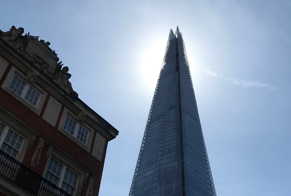
You’ll note the Sun is not visible through the tip of the Shard, from the south side of St Olaf House. And as I suspected on my chance passing on 17th April, the shadow had long left the river. This was taken at 12:56:

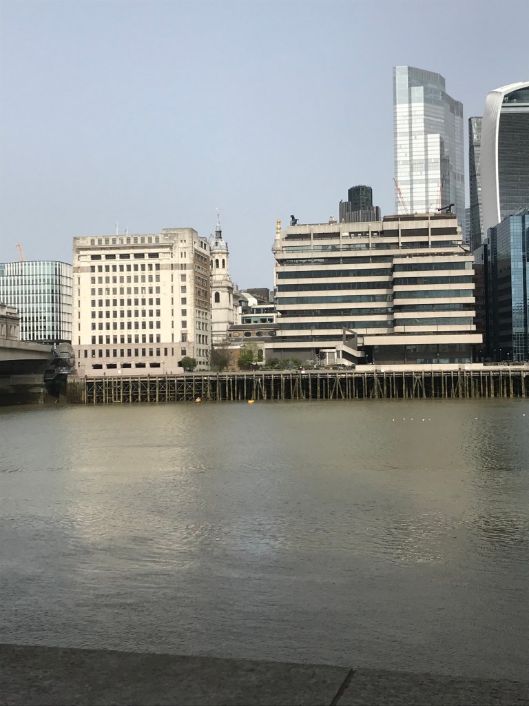
No tip visible on the river, and no Sun visible through its prongs. The shadow must fall between these two points, on the roof of St Olaf’s House. So unseen I pinned it to the map there.

17th April 2021 13:00

This stands as a bit of a bonus shot. With lockdown partially lifted, and the brightness less matched by the coldness, we’d arranged to meet friends miles away on Clapham Common, and we cycled. And we were late. I’d never cycled this route before, down the no-cycle-lane Borough High Street towards the turbulent and daunting Elephant & Castle roundabout, but our lateness made the timing for this shot perfect. Accidentally, I can assure you.

If the shadow tip was only just visible the day before, this was surely its last hurrah. And so it proved.

16th April 2021 13:02

It was a bright cold day in April, and the clocks were striking 13. Well, 12:56 when I arrived, but 13 shortly afterwards. Annoyingly, despite it having been a cold clear night and yes, a bright cold morning, it clouded over as the day progressed. By the time I got into position the Sun was behind a large slow-moving cloud and there were no shadows anywhere, save the wide splotch of the cloud itself. It did gradually move though, southwards in the chilly northerly wind, and the shadows appeared 90 seconds late. Still, given the inexactness of my map marking when it’s on the river, that’s probably within the bounds of error.

It was only the very tips of the forked top that were visible now, dual dark spikes just peeking over the flat-topped shadow of the wharf.

8th April 2021 13:00

It was a crazy week at work. But amidst the whirl of chaos, it was the first sunny midweek in a week, the forecast for the next few days was bleak, and I knew the crossover point was close.

The crossover in the figure 8 looks, from the plot, to be about 11/12th April and 29th August. Having failed miserably to get anything close to the point in the late summer, this one compelled me to leave my ailing database for 45 minutes and head to the bridge. I cycled again, stressed.

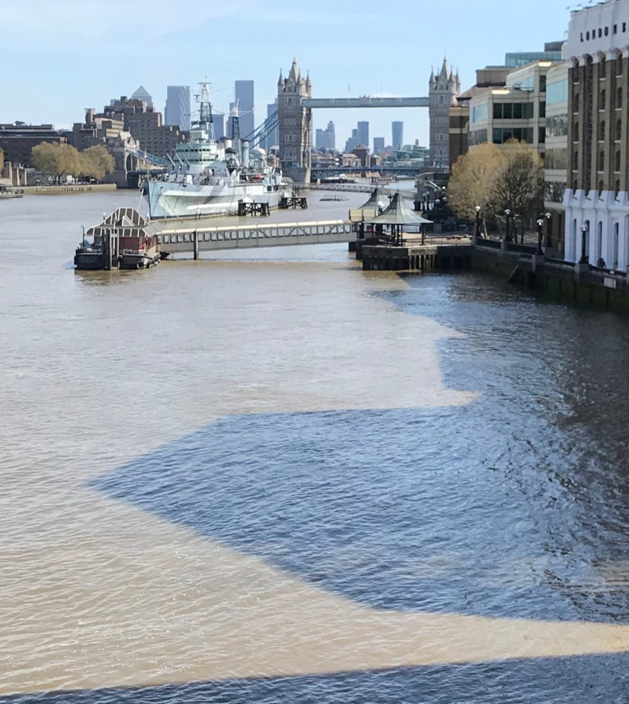
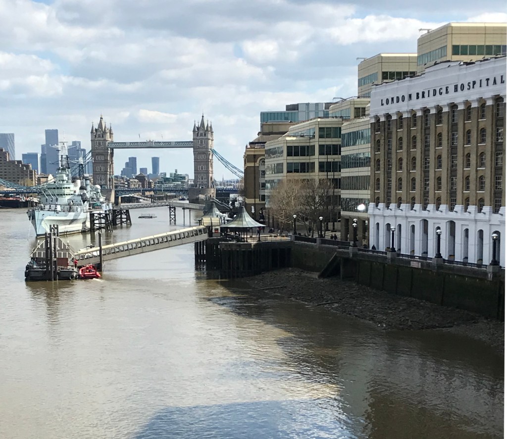
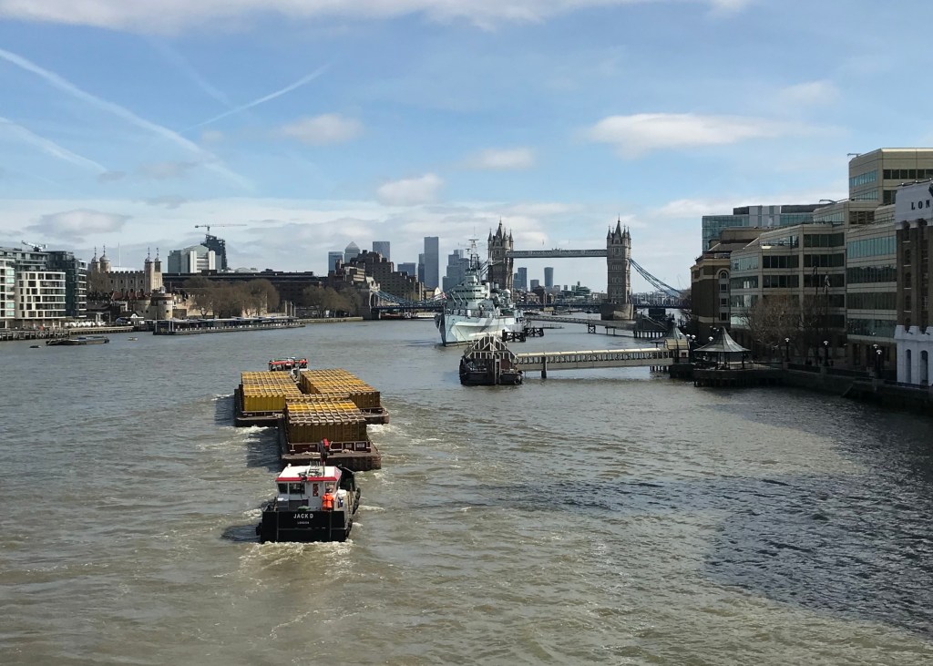
This time there wasn’t the luxury of a leisurely walk south, but I’d prefer to call it perfectly timed than a rush. As I arrived a tug dragged its huge load downriver, but the shadow was so close to the south bank that it didn’t obstruct the view. And it was a fair bit further south for its week. Attempting to triangulate again, it now aligned Belfast’s bridge with the Clipper pier, but it’s trickier the other way. The map marker is a best estimate.

The exact crossover point I feel should be celebrated. It’d be possible to work it out exactly. I wonder what it would take to get the Port of London Authority to put a buoy there, topped with a disco mirrorball, to reflect the moment to everyone around?

(Incidentally, although I’d written the above post several years ago, I’ve only picked this up again in August 2026. Why now? Maybe the looming eclipse puts such things in mind. I’ve also mentioned it to a few people now, and the fact that it’s unfinished irks me in an unusually tugging way.)

1st April 2021 13:00

Into spring and BST, and despite the near six-week gap and the galloping strides evident on the plot, I still naively expected this to be northside of the river. For the first time I cycled down, a lockdown reacquaintance, and parked the Santander bike behind old Billingsgate after a 10-minute pootle down the blue CS3. When I got to the riverbank it was immediately clear I’d seriously misjudged it. The Sun sat far, far above the Shard:

People say that the evenings get lighter so quickly at this time of year. They’re not wrong. Between 24th February and 1st April, 36 days, the Sun moved from a peak of about 30 degrees to about 44 degrees. That’s a 14 degree swing. That’s about the same as the change to February 24th from the winter solstice just before Christmas, which isn’t that different to the rest of the month of December. Say 72 days. Twice as fast in spring. Seasons change.

On the plus side I’d overestimated how long it would take me to cycle there, so I didn’t have to run southwards down the bridge in a mad spring dash, and I still got level with the shadow with a few minutes to spare.

But now I was back at the late summer’s problem. How to put on a map a shadow on a river? I’d tried GPS and it put me in the Thames. I’d tried photos of the surroundings but it was far too confusing and complicated. This time maybe the old divers’ trick of lining up two pairs of onshore landmarks to find a wreck?

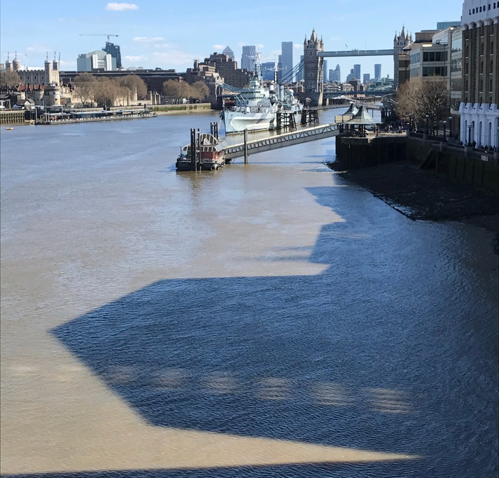
So from the bridge the shadow’s tip was just north of a line connecting the north tower of Tower Bridge with the bridge of HMS Belfast. That’s one pair. Scooting south to the walkway I could just about see, three minutes later than 1pm, the shadow’s gap pointing to the right side of Adelaide House. Maybe just enough to triangulate with…

It’s also worth noting that the Sun is at pretty much 45 degrees according to the plot, maybe just shy, which means the shadow of the Shard is the same length as the Shard is high, 309.6 metres to its tip, so probably about 305 to its cleft. Some combination of all this triangulation will surely help place this one…